gps noise filtering
GPS Noise Filtering: How to Clean Location Data Without Losing Real Movement
Learn what causes GPS noise, how filters like Kalman smoothing work, why cold starts delay fixes, and how to keep field attendance records defensible.
Learn what causes GPS noise, how filters like Kalman smoothing work, why cold starts delay fixes, and how to keep field attendance records defensible.
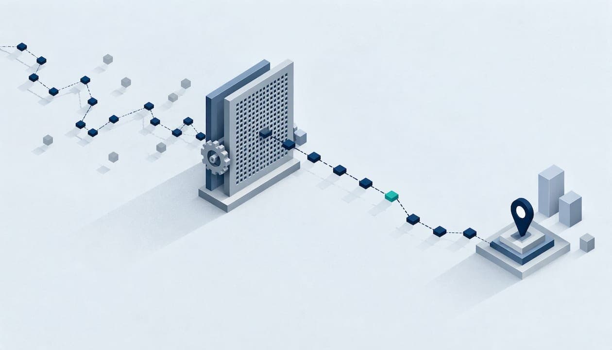
GPS noise filtering is the process of reducing random jumps in location readings so that a track or a position reflects where a device really was. The most common tool is a Kalman filter, which blends each new reading with a prediction of where the device should be. For field teams, the safest approach is to filter for display, keep the raw fix with its accuracy value, and judge each clock-in on its own evidence rather than on how smooth a line looks.
This guide explains where noise comes from, how filtering works, why a cold start produces poor early fixes, and how managers can handle disputed locations in time and attendance records.
Noise is the gap between where a receiver says it is and where it actually is, and that gap changes from second to second. According to GPS.gov, positioning quality can be degraded by satellite geometry, signal blockage, atmospheric conditions, receiver design, use indoors or underground, and signals reflected off buildings or walls.
For people working on job sites, three of these show up most often:
A stationary phone often shows this clearly. The dot drifts around a spot even though nobody moved. That drift is noise, and it is the problem filtering tries to solve.
Every filter makes the same trade: it uses what it knows about how things move to decide how much to trust each new reading.
The simplest approach averages the last few readings or discards points that imply impossible movement, such as a worker covering half a mile in one second. It is easy to build and easy to explain. It also reacts slowly, because a moving average always trails the real position.
A Kalman filter keeps an estimate of position and speed plus a measure of how uncertain that estimate is. Each new fix is compared with the prediction. If the fix is close to the prediction and the sensor is trusted, the estimate follows it. If the fix is far off, the filter leans on the prediction instead. It runs quickly, which is why it appears in so many mapping and tracking apps.

The method assumes noise behaves like random scatter around the truth. Reflected signals break that assumption, because the error is not random. It is a consistent push in one direction. The FusionCore guide on position jumping near buildings points out that a GPS driver usually reports the same confidence it would in open sky and does not know when a signal was reflected. Bad fixes therefore have to be rejected based on the filter’s own prediction, not on what the GPS report claims about itself.
In practice, good pipelines add a gate in front of the filter. A reading is rejected or down-weighted when it:
These rules matter more than the choice of smoothing algorithm. A great filter fed one wild reflection can still drag the track off course.
Filtering is not free. Every method gives up something to remove jitter.
The last point is the one managers get wrong most often. A published study of map-matching on poor-quality urban GPS data, Millard-Ball and colleagues (2019), evaluates results by comparing the matched path with the true path and reporting match success rates. That is the right idea: measure a filtered result against known ground truth, not against how tidy it looks.
Sampling rate adds its own effect. A study of a stadium tracking system, published in Sensors, reports that movement errors can exceed 10% during sprints even at 10 Hz, and that reported football distance was about 10% lower at 1 Hz than at 5 Hz. Sprinting athletes are not field crews, but the lesson carries over: sparse sampling loses real movement, and no filter can bring it back.
Many location complaints come from the first minute after someone opens an app, not from drift later. That is the cold start problem.
ESA’s Navipedia entry on time to first fix defines a cold start as a state where the receiver has no usable prior information and must search the whole sky for satellites. Warm and hot starts keep progressively more satellite, time and position data. The time to first fix depends on receiver resources, signal strength, how well the navigation message can be decoded and the surrounding environment. Urban canyons and obstructions can interrupt the process.

The numbers can be large. GPS World explains that navigation data arrives at 50 bits per second and that the almanac sits in a 12.5-minute message, so a cold-start fix can take up to 12.5 minutes, or longer when signals are obstructed. A receiver manufacturer’s technical note on the OEM7 hot start gives example specifications of 34 seconds for a cold start and 20 seconds for a hot start under its stated product conditions. Phones typically do far better than the worst case because they get outside help, but the pattern holds: less stored information means a slower and rougher first position.
For a field worker, this turns into simple habits. Open the app before reaching the gate, wait for the location to settle in the open, and avoid clocking in from inside a vehicle cab or a concrete stairwell when the site entrance is a few steps away.
A dispute usually looks like this: the record shows an employee 300 feet from the job site, and the employee says they were standing at the gate. Both can be telling the truth. The question is how much weight the fix deserves.
Every location record should carry a horizontal accuracy value. Esri’s guidance on storing horizontal accuracy for every location record says this enables later quality analysis, and it notes that Android defines horizontal accuracy as a 68% confidence radius. That means the true position is inside the circle roughly two times out of three, not every time. A point with a 15 ft radius and a point with a 250 ft radius are very different evidence, even if they look the same on a map.
HDOP and VDOP show how satellite geometry can magnify error horizontally and vertically, according to Discovery Engineering, but they do not measure every error source. A case report on a low-cost tracking device found location accuracy was only weakly influenced by HDOP. Treat it as one clue, next to accuracy radius, satellite count and the environment.
Useful per-fix metadata, listed in the ArcGIS Field Maps documentation, includes position source, horizontal and vertical accuracy, fix time, fix type, satellite count, correction information, dilution-of-precision values, speed and direction. You do not need all of it to resolve a clock-in dispute, but the more of it you hold, the easier the review.
On the tampering step, our article on fake GPS detection with on-device and server checks covers how to separate noisy readings from deliberate spoofing.
The rule that protects you in an audit or a dispute is reversible quality control. Urbano and colleagues, in their paper on detecting and managing outliers, recommend preserving original sensor records and marking suspected errors with validity tags instead of deleting them. Their reasons carry straight into payroll data: timestamps and other fields may still be useful, missing data differ from erroneous data, and later review may change the screening criteria.
For a field-team system, that gives you a clear policy:
Consistent recording habits help here too. The same disciplines that make a track clean in the first place, such as one recording method and clearing old data, carry over to workforce tools. Teams building their own tooling can look at GPS tracking software development for how route data gets handled end to end.
If you are also drafting rules about what you collect from employees, see our GPS tracking policy template and our guide to employee GPS privacy.
Noise filtering is hardest with a continuous stream of points, because every second is another chance for a reflection to create a false jump. A clock-in is a single moment. You need to know whether the person was at the site when they punched, not where they wandered between punches.
That is why many field teams verify location at the punch and use a site boundary check instead of following people all day. We explain the difference in GPS vs geofencing and in our piece on field employee location verification without live tracking. With fewer points to filter, there is less noise to explain and less personal data to protect.
Clock-Me is a workforce management platform for field teams. It combines GPS-verified clock-ins, identity verification, geofencing, random location check-ins and live dashboards, with timecard attestation, timesheet approval and payroll export. It also includes device-based fraud detection and features for California labor law compliance. Our approach is designed to give managers the evidence they need at each punch without paper timesheets or continuous background tracking.
Plans are billed monthly: Free at $0, Starter at $31.99, Growth at $54.99, Business at $99.99, Pro at $224.99 and Corporate at $439.99, plus an Enterprise tier with no published price. Plans are based on the number of active employees, and you can compare them on the Clock-Me plans page.
Small teams can start on the free plan and move up as headcount grows. To see how it works in your own workflow, start at clock-me.com.
We built Clock-Me on a simple view: a clock-in is evidence, and evidence should be captured once, clearly and with its context.
GPS will always be noisy. Buildings reflect signals, basements block them and phones start cold. No filter fixes that completely. What a manager can do is verify location at the moment that matters, check it against a site boundary, and keep the accuracy information that explains the reading.
That is why our platform is designed around GPS-verified punches, identity checks and geofencing rather than a constant stream of positions. Fewer data points means fewer false jumps to argue about. Identity verification and device-based fraud detection add confidence that the right person punched in from a real device.
We also believe a record should stay explainable. A manager reviewing a disputed punch should see more than a dot on a map. That is the standard we work toward for field teams, including those that need to meet California labor law requirements.
Clock-me
It is a strong default for smoothing a moving track because it is fast and weighs each fix against a motion prediction. It performs best when noise is random. Near buildings, where reflected signals create consistent errors, you also need rules that reject bad fixes based on the filter’s prediction.
The receiver recalculates its position from changing satellite signals, and those signals can be blocked, weakened or reflected. GPS.gov lists satellite geometry, blockage, atmospheric conditions and reflections among the causes. A low accuracy value on the record tells you the jump was expected.
A cold start happens when the receiver has no usable prior satellite, time or position information and must search the whole sky. The delay ranges from seconds on a modern phone with network assistance to many minutes in poor conditions. Opening the app early in an open area shortens it.
No. Keep the raw record and mark it with a flag so a later review can reassess it. Deleting data removes evidence, while a flag lets you exclude the point from calculations under a documented rule.