gps photo metadata
GPS Photo Metadata: How to Find, Add and Remove It
Learn what GPS photo metadata is, how to read it on any device, why some photos lack it, and how to add or remove location data before you share.
Learn what GPS photo metadata is, how to read it on any device, why some photos lack it, and how to add or remove location data before you share.

GPS photo metadata is location information that a camera or phone writes into the image file, usually as latitude and longitude, sometimes with altitude and direction. You can read it in your computer’s file properties, in your photo app’s info panel, or in a free EXIF viewer. You can also add it to photos that lack it, and strip it before you share a picture. This guide covers all four tasks step by step, then explains what it means for teams who work in the field.
Every digital photo carries a block of hidden text called EXIF data. When location is switched on, the camera adds the position where the shot was taken. Nikon explains that geotagging embeds the camera’s position in the image, and that GPS systems can supply position, heading, speed and altitude. That data can then be used to organize pictures on a map.
The tags are standardized. ExifTool’s tag reference lists GPSLatitude and GPSLongitude as the core fields, each paired with a reference tag that says north or south, east or west. Altitude has its own pair, GPSAltitude and GPSAltitudeRef.

On a phone, the position does not come from satellites alone. Apple says camera location metadata is derived from cellular, Wi-Fi, GPS and Bluetooth information. It is embedded in photos and videos so you can later search them by where they were taken.
The coordinates usually describe where the camera was, not necessarily where the subject was. A photo of a mountain taken from a valley carries the valley’s position. Keep that in mind whenever you read a location off a picture: it tells you where the photographer stood.
A geotagged image normally has at least latitude and longitude. It may also have elevation, compass bearing and other fields, depending on the device and the settings.
You do not need special software. The built-in tools on most devices show it. WIRED’s privacy guide walks through the common ones.
If you want a quick check before sending a picture to a client or coworker, steps 1 and 2 take under a minute.
Coordinates often appear in degrees, minutes and seconds, or as decimal degrees. Either format works in a map search box. The hemisphere reference matters: without it, a latitude or longitude can land on the wrong side of the globe. That is why ExifTool advises writing both the value and its reference tag when you add GPS data yourself.
Once you have the coordinates, finding the place takes a minute. Google’s News Initiative training recommends reading the latitude and longitude from the EXIF data and entering them into Google Earth. Africa Check describes the same approach with Google Maps: inspect the image’s Properties or Information, then paste the coordinates into the map.
Two cautions apply when you are verifying a picture someone sent you:
When no coordinates exist, Africa Check suggests looking for visual clues such as buildings, mountains, signs and license plates, then comparing them against map, satellite and Street View imagery.
If the Details tab shows no GPS section, one of these is almost always the reason.
Camera location was off. On phones, location access is a per-app permission. Google’s help page says camera location settings can be switched on or off, and that photos without location information may be missing from map views, location searches and trip Memories. If you want your photos mapped, check the camera app’s location permission first.
The file passed through an app that removes it. Some sites and apps, including eBay and Facebook, strip location data from uploaded pictures. The copy you download back may have no coordinates even though your original did.
The camera has no GPS. Many standalone cameras record basic settings but no position. Nikon notes that location can be added from a connected device or recorded with a GPS unit, depending on the model.
Someone removed it on purpose. Privacy-minded users often delete location before sharing, which is a good habit, as the next sections explain.
Businesses also run into this when they publish pictures online. If you manage a company listing, it helps to know how Google Business Profile photos are reviewed and published, and to check your device’s camera permissions before you shoot a batch of location photos.

You have three practical options, from simplest to most precise.
Google Photos lets you add a location through the photo’s Info panel. According to Google, a photo’s location can come from the camera, from a manual entry, or from an estimate based on landmarks and other photos. You can edit or remove estimated and manually added locations. Locations written by the camera itself cannot be changed or removed inside Google Photos.
If you carried a GPS logger or recorded a track on your phone, ExifTool can match the log to your photos. It uses linear interpolation to estimate where the camera was at the time each image was taken. When the values are available, it can write latitude, longitude, altitude, GPS date and time, track, speed, image direction and positioning-error tags.
This method depends on the camera clock being accurate. If the camera’s time is off by a few minutes, the estimated positions will be off too, so set the clock before a shoot.
For a single image, you can type the coordinates into an EXIF editor. Write the hemisphere reference as well as the number, or a western longitude can end up in the east.
Location in a photo file travels with the file. Apple warns that recipients of shared photos may be able to access the embedded location metadata. On iPhone or iPad you can remove a photo’s location, turn off the Camera app’s access to Location Services, or switch off Location in the share sheet for a single send.
Apple treats location as a separate control: you can keep it for your own organization and still exclude it from what you send. WIRED’s guidance goes further and says to treat metadata as part of the file you share, because it can point to a home, a workplace or a holiday spot.
A quick routine before you send:
There is a real trade-off here. Nikon points out that geotagging is great for travel cataloging and map-based retrieval, while some photographers withhold coordinates for sensitive or favorite places. The right answer depends on the photo and the audience.
People searching for photo location metadata often also ask about daily location summaries. They are different things.
The two can disagree. A photo may keep its own embedded coordinates even after you clear a summary of frequently visited places, and the reverse is also true. If privacy is your goal, check both: the files you share and the location settings on your phone. Look in your device’s own location and privacy settings for the current names and controls, since they change between operating system versions.
If you manage people who work at job sites, you may have been told to ask crews for a photo as proof they were there. The idea is sound, and photo metadata can help with it. But a photo is a file, and it has limits as an attendance record:
That is why we built Clock-Me around the moment of the punch rather than the file. Our approach combines GPS-verified clock-ins, identity verification and geofencing, so a manager sees where and when an employee clocked in without collecting photos or running continuous background tracking. We describe how this works in our guide to field employee location verification without live tracking, and how it differs from a constant stream in GPS vs geofencing.
If you are drafting rules for your crews, two other articles help. Our GPS tracking policy template gets an HR lead to a finished draft in one work session, and our piece on employee GPS privacy explains why we favor events over streams. For the manager’s view of the benefits, see GPS time tracking benefits for field managers.
Clear rules prevent confusion. Tell your team which photos are collected and why, and whether location is expected on them. Explain that sharing a picture can reveal its location to the recipient. Keep work photos and clock-in verification separate, so that one does not quietly become the other. The same openness you apply to photo metadata should apply to time tracking: employees should know exactly when location is checked.
Our perspective
We see photo metadata every week in conversations with managers. A crew lead sends a picture from a site, the manager opens the properties, and the coordinates either appear or do not. When they do not, the question becomes who to trust. That is a hard position for both sides.
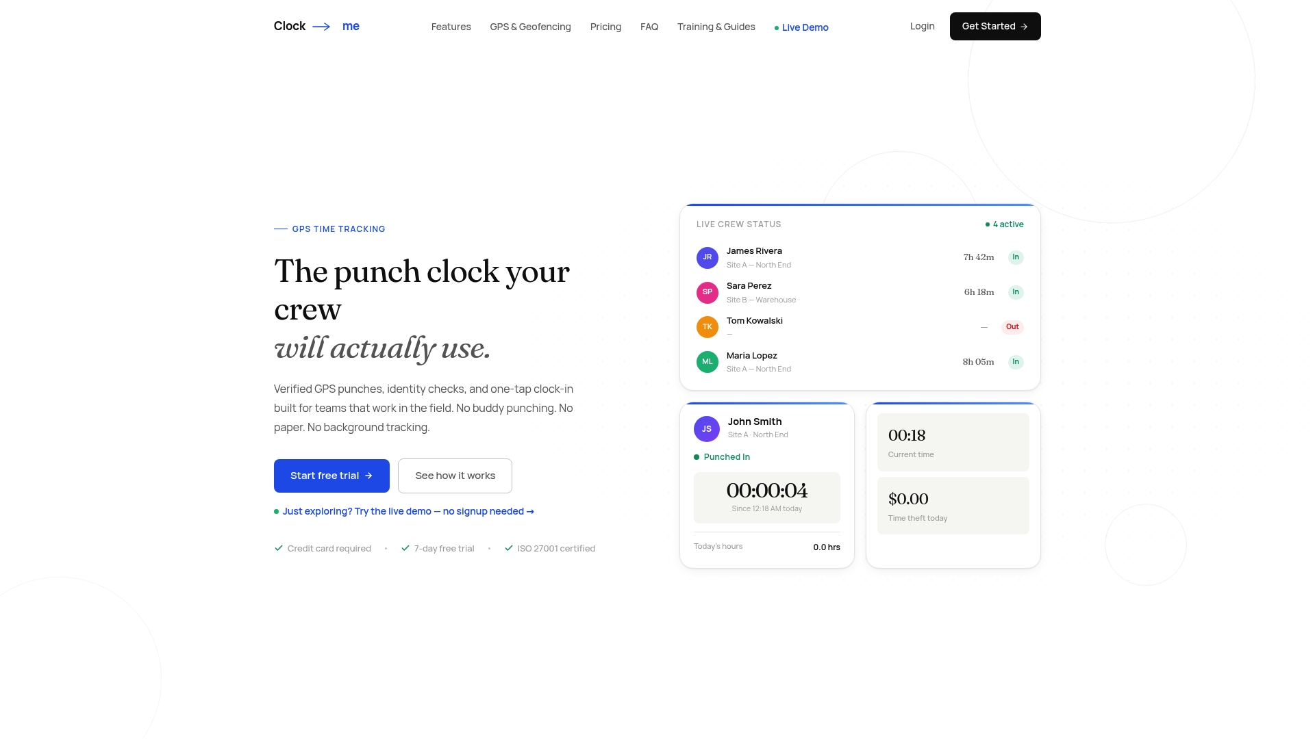
We think attendance should not depend on a file that may or may not carry a location. Clock-Me records a verified GPS clock-in at the moment of the punch, checks identity so one person cannot punch for another, and uses geofencing so a manager can see whether the punch happened at the job site. There is no paper timesheet to chase, and no continuous background tracking.
Our aim is a simple one-tap clock-in that employees can understand and managers can rely on. Photos stay useful for documenting work. Time records come from a system designed to verify them, with live dashboards, timesheet approval and payroll export, plus features built for California labor law compliance.
Clock-me
If you are comparing photo evidence with a purpose-built system, you can test ours without a commitment. Clock-Me has a Free plan at $0 per month for small teams. Paid plans start with Starter at $31.99 per month, then Growth at $54.99, Business at $99.99, Pro at $224.99 and Corporate at $439.99 per month, with Enterprise priced on request. Plans are based on the number of active employees, and you can see each tier on our plans page.
To understand the technology before you commit, read our guide to geofencing time tracking for managers, which explains why event-based checks avoid continuous location streams.
Use this list as a quick reference.
Open the file’s details: Properties > Details on Windows, Get Info on macOS, or the info panel in Google Photos or Apple Photos. Look for latitude and longitude. If they are missing, the camera’s location services were probably off, or an app removed the data when the photo was sent.
Yes, if the file still holds its EXIF coordinates. Copy them into Google Maps or Google Earth to see the spot. If the photo has no metadata, look for visual clues such as signs, buildings and landmarks, and compare them with satellite and Street View imagery.
EXIF GPS refers to the location tags stored inside the image file. They hold latitude and longitude, each with a north/south or east/west reference, and can also include altitude, heading and speed. The coordinates usually mark the camera’s position rather than the subject’s.
Yes. On iPhone or iPad you can remove the location from the photo or turn off Location in the share sheet. On a computer, export or save a new copy with location info removed, then check the new file’s details to make sure the GPS section is empty.
It is a useful clue, but it depends on location services being on and the file staying intact. For attendance, we recommend a verified clock-in that records location and identity when the employee punches in, so the record does not rely on a file passing through apps.